Friday, August 1, 2014

Valdez, AK

 Valdez July 29th -August 1st

We left Chitina (Chit NA) through the one way rock walls on July 29th and went back over the construction on the Edgerton Highway to the Richardson Highway south to Valdez.

Tight Squeeze 
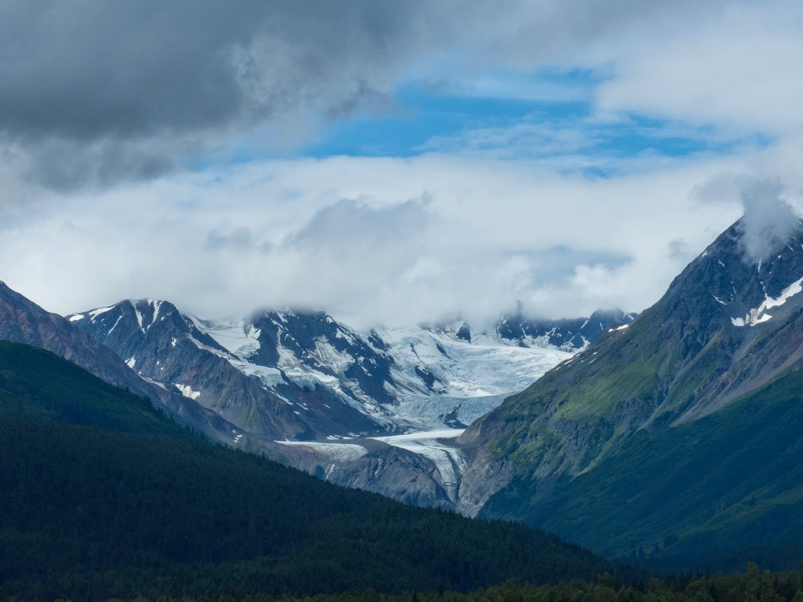
We thought the ride on the Haines Highway was something to see, but this one was even better. Every time you turned around there was another incredible view. Today we saw a few glaciers along the way including the Worthington Glacier.
Worthington Glacier

Views on Richardson Highway

The Richardson Highway was paved so we had a good ride and we arrived in Valdez mid afternoon where we took a site at a campground on the harbor where we stayed for 3 nights. We treated ourselves here with full hookups-electricity, water and sewer! We haven't done that for the majority of the trip..it was time.

We thought we might do a kayak trip to a glacier, but the weather was raw and I had a bad cold so we opted to be content with touring Valdez, the harbor, the Valdez Glacier, the  museum and the Solomon Gultch Hatchery.


The Chugach Mountains surround Valdez and are the highest coastal mountain range in all of North America. The views are outstanding!
Small Boat Harbor

Valdez Harbor with Chugach Mountain Range

The original town of Valdez suffered a tsunami after a quake in the mid 60s where 30 people on the dock were killed and a few on one of the boats. The ground under the town was deemed unstable so they moved it to its current location. The current population is 4000 and its industry is fishing and tourism. The Alaskan Pipeline starts in Prudhoe Bay and terminates here in Valdez. Valdez is also noteworthy for the largest oil spill in our waters in 1989. It is also noted for its winter sports including the Extreme Skiing Championships from 1990 to 2000. Their record snowfall in 1990 was 46 feet and last year there was an avalanche on Richardson Highway which shut the town down for days. We're sure glad it's not snowing now..

One of our favorite places was the hatchery watching the salmon trying to go up the river to spawn. However, the weir was set so they would go into the hatchery where their eggs would be harvested. Valdez Fisheries Development Association, organized in 1978 is one of the most advanced in Alaska.Their goal is to produce 10 Million Pink, 300,000 chum, 100,000 silver and 10,000 king per year.  These fish are caught by both commercial and sport fishermen and are part of the great source of food for Alaskans and the world.  Each returning female that spawns yields about 1,700 eggs.  To see the frenzy of fish activity at the weir and  the sea lions, sea gulls, eagles and fisherman at the shore is a sight to behold.  However, the old sow grizzly bear that is usually there did not appear while we were there.
Tim fished at the shore there and snagged many salmon but only kept the two.


Valdez Glacier

Salmon trying to get upstream

Sea Lion with Fish


Whispering Giant

In 1981, a very well known wood carver, Peter "Wolf" Toff,  produced a 30 foot high Indian statue weighing 85,000 pounds in 1981 to honor the Native American spirit of this Alaskan  Village. It is prominently displayed on the downtown green,  He has produced over seventy of these nationwide and has one in every state and has named them the Whispering Giants.

Pampered enough for three nights, we spent our last night in Valdez at a roadside turnout as we have to get up at 5:00 am to be in the ferry queue for a 7:00 am sail to Whittier.


Wrangell- St. Elias National Park

Wrangell-St. EliasNational Park

This is the largest National Park in the United States and one of the most difficult to travel into. Established in 1980 it is 13.2 million acres of wilderness. It is separated into two districts; the Nabesna District and the Kennecott District.

July 26th

We had heard much about the bad roads into the park, but we had also heard from the woman at the Visitor Center in Tok that the Nabesna Road into the park was gravel,  but not too bad and that there was a nice campground at mile 26. Off we went from our roadside campsite to Nabesna Road. We stopped at the Ranger Station there and was assured that the road was fine and we would have no trouble getting to the campground and "what a nice place to camp!"

Fine is a relative term! If we were driving a four wheel jeep, it might have been "fine" but we have a 28 foot motor home towing a Honda Fit for goodness sakes! They knew that and yet seemed confident that we would be okay. Technically, we were okay, but once the paved road (full of pot holes) turned into gravel with even more potholes the farther we got on it, the ride was no longer fun. The Campground at the 26 mile mark was ridiculous. It was all gravel and probably newly placed gravel, but it was all built up and very soft. We could just see us backing in and sinking 2 feet into the stones! Not to mention the swarming of mosquitoes! More mud and dust as well.

We turned around and made the long drive back over the same "fine" road, found a car wash and went to a campground in Glenallen for the night.

July 27th

We left the campground early to find the National Park Visitor Center in Copper Center. Drizzly Rain has begun again making everything even more muddy than it was yesterday. We decided to go to Chitina (pronounced CHIT NA) and then take a shuttle up the McCarthy Road to McCarthy and then to Kennecot. These are bush towns and the McCarthy Road is supposed to be very bad, but the road to Chitina was supposed to be a paved road to the campground. However, the first 19 miles of it were under construction and the final 2 miles were as well. Again, we were mud spattered by the time we arrived there. Becoming the norm I guess.
Moose along the highway

Chitina is very small with a hotel, a bar, a store, a few homes, a  private campground, and a ranger station. The State campground was after the town and was hard to find. No sign, but Don and Marcia had told us how to get to it..just after the bridge over the Chitina River on the right. This was free camping and we can see why. The sites were hard to identify. You basically, found a spot and turned off your engine! All kinds of trucks and ATVs from the fishermen doing sustenance fishing on both sides of the river.  On the far side of the river, there were many fish wheels. We were told by the Ranger, that, usually, more than one person owns the fish wheel and they take turns taking the fish from it..like a co-op it seems. We were fortunate to find a place to roost for a few days. Other RVs kept coming in and turning around to go back to Chitina to the private campground there.


We checked out the fish wheels  and the folks under the bridge fishing with dip nets. These are nets on long poles that they drag through the water and scoop up the fish. Again, this is for sustenance fishing and not legal for Tim..just locals.
Fish Netting

Fish Wheels in Copper River


July 28th

We had made arrangements with the Kennicott Shuttle Service to pick us up at the campground entrance at 7am. We boarded the van and immediately were on McCarthy Road. This road orignated in 1909 as a railway constructed to support the Kennecott Copper Mines. When the mining ended in 1938, most of the rails were salvaged for scrap iron and in 1971, a new bridge was constructed over the Copper River and the rail bed was covered with gravel creating the current McCarthy road. There are lots of flat tires out here due to resurfacing rail spikes and really bad ruts and pot holes.


It was a 2 hour journey on a gravel, bumpy road to the Base Camp for Root Glacier and the first of 2 footbridges to McCarthy. Once across the 2 bridges, we could get on another shuttle to Kennecott or walk to McCarthy (about 3/4 mile) first and then shuttle to Kennecott which is another four miles away. We chose the walk to McCarthy only and then shuttle to Kennecott.
Note: 2 different spellings for Kennecott versus Kennicott. The mountain is spelled Kennicott, but the town and mill spelling were changed to Kennecott when they built the mill at the copper mine.

Town of McCarthy

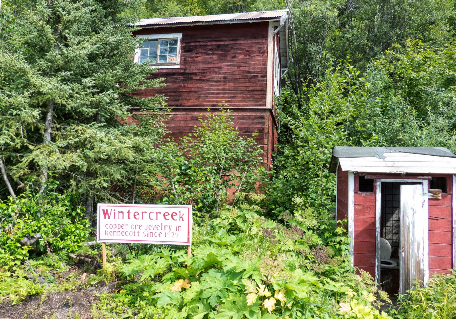
Town of Kennecott
Hotel in McCarthy
We had an interesting day there at these 2 bush towns. Both of these towns are powered exclusively by generators and the population dwindles extensively during the off seasons. During the summer months, there are tour companies to take folks to the Root Glacier to hike and other trips for rafting the Copper River as well as other bicycling and hiking and ice climbing opportunities. We chose the more sedate tourist approach (for a change) and simply toured the towns, the mill area and talked to the locals whom we found to be lovely people. We lunched at the Kennecott Lodge, took pictures of all we surveyed and walked back to the foot bridges and base camp to pick up our shuttle.

The history of  the Kennecott mine is interesting. Copper was discovered here in 1900 by prospectors Clarence Warner and Jack "Tarantula" Smith. This turned out to be the richest concentrations of chlacocite, a high grade copper ore. Then, the Guggenheim and the Morgan families joined forces with Stephen Birch and backed the Alaska Syndicate which quickly gained a monopoly over the mining operation in this area. Mining it was one thing, but they had to build the  mill to refine what they processed and took out of the mine. So, they built the Kennecott Mill which is being refurbished today by the National Park Service. The mining was extremely successful until they stripped the mine and, by 1938, the mine and mill closed. Any supplies needed were brought up the Copper River from Cordova and by rail. In its heyday, both of these towns were thriving little communities even as remote as they were.
Kennecott Mill


Main Street Attractions in Kennecott

McCarthy Store sign

Pizza Parlor in Kennecott


Root Glacier 

Astonishingly, in 1910, they built a bridge 238 feet above the Kuskalana River for the railway.  It was built in the middle of winter in 50 degree below zero weather in a very short time frame. It was made of steel and still stands today as a single lane bridge.

Arriving back at the Base Camp to pick up our Shuttle Van at 4:30, we discovered that the van had a flat tire! Kim, the driver, had told us that it not an unusual occurrence and assured us that if we did get one along the way that she had tires stashed at different locations along the way. You never travel this road with less than 1 spare tire and some carry two. She has a cache of tires, so she is never without back ups.


The Tire Guy's Garage
She changed the tire and we dropped the damaged one off at her local "tire guy" just down the road a ways.

Trumpeter swans graced us with their presence along the way. Beautiful creatures. Other than that, it was an uneventful trip back to the campground. Another long but memorable day in Alaska.


Haines Highway to Tok

Haines Highway to Tok July 25th

Today we made the trip from Haines into Tok through the Yukon on the Al Can highway. What a ride it was. The Haines Highway was very scenic and one of the prettiest rides we have had so far. Along the way there are many roadside reminders of the Native American Heritage. We also saw the Fish Wheels that we had been told about.


The fish actually get scooped up into a basket and when the wheel turns, they are dumped into a bin. This is one of the ways that the native alaskans can get their sustinance fish. They fish all summer to gather enough food so they can eat all winter. Fish, along with the game they hunt, are their main stays for survival in some of these remote areas.

As we drove, we remarked on what a nice smooth road it was.... but I think we jinxed ourselves as pretty soon we were on muddy, torn up roads that were under construction for miles on end. By the time we finished this leg of the trip, you couldn't determine the color of the RV or the car for all the mud that was on them.

We passed through Canadian and US Customs without a hitch this time and went on into Tok. This is where the Alaskan Highways intersect. The Glenn Highway, Alcan Highway, and Taylor Highway intersect here. You can go to Anchorage, or south towards Glennallen and Valdez, or north to Chicken or Fairbanks.  It's a resupply stop along the way. Not impressed, we continued on and parked on a road side pull out for the night.

Haines, and Skagway, AK

Haines and Skagway, AK July July 20th to July 24th


We left the Mendenhall Glacier campground the night of the 19th and camped in the Ferry parking lot for the night because our ferry was at 7am and we had to be there by 5 am. This way we could sleep until 5 instead of getting up at 4 and heading down there. When we arrived, we watched cars depart the terminal and then all of a sudden, there was a brown (grizzly) bear walking around the parking lot. We tried to get a good shot and stay safe, but I'm afraid it came out a little blurry. He gradually walked the lot and then back across the street and up the hill from whence he came.

The M/V Malaspina ferry boarded at 6, we departed at 7 and went in for breakfast at 8. While waiting in line, Tim met Karen Baker. She is traveling with her husband Ken and are going to the same places we are although in a different time frame. We exchanged emails and blogs and will keep in touch with them along the way. We are getting off in Haines and them in Skagway for one night and then they will come to the  Chiilkoot Lake campground to join us for one night.

In our travels, we have found that State and Federal campgrounds are more to our liking than the commercial ones and the one in Haines was perfect! To find it was a bit of a challenge as we wound our way along the Chilkoot River and up to the lake. At the weir in the river, a brown bear was climbing up trying to get at the fish!
Many folks along the roadside trying to catch the action which made for a bit of a squeeze getting through. We found a site right on the lake with beautiful views. No electricity or water again however, but the location and ambience make up for it.

The following morning, we took the high speed ferry from Haines to Skagway which I will write about later. We met Don and Marcia on the boat and they are also staying at the Chilkoot Lake Campground. They gave us some hints about where to stay in Soldatna and Homer. They also were kind enough to let us use their kayaks one afternoon to try to find the bears feeding up the other side of the lake. The kayaking was great but no bears! Eagles flew overhead
by the shore and the weather held out with no rain for a few days.
Tim Kayaking

Our RV view from Lake

Marcia and Don Kayaking

Tim fished in both the river and the lake with no luck this time but he sure does look good while  he's doing it!


We explored the town, Fort Seward and Dalton City where the movie "White Fang" was filmed. These are some of the original buildings from Haines. One of them is now a Brewery! Fortuitous for Tim.
Haines Ferry Dock
We really enjoyed our few days here. It is peaceful and very low key. In the winter, the locals tells us, they get 30-40 feet of snow! The summers are like our South Carolina winters..high 50s to mid 60s during the day and mid 40s at night. Needless to say, our heat was on at night and we did dress warmly for our stay here as in most parts of Alaska thus far.


PS: Don and Marcia if you are reading this, please send us your email so we can send you your pictures. Have a good trip!


Skagway

As I previously stated, we took the high speed ferry to Skagway for the day. Upon our arrival, we ran into Ken and Karen at their campground right next to the ferry dock. They were packing up to get on the Marine Highway Ferry over to Haines where they will spend the night at Chiltook Lake.
Ken and Karen's RV

As we walked through the town, we came upon a barker outside a building hawking a tour and an old fashioned saloon show. We bit! We took the van with just one other couple up to the Yukon and the Whitehorse pass for a few hours and then came back for the show. The trip was just long enough and we saw most of what you could see from the train ride but certainly not all of it. The scenery is wonderful..and I am running out of adjectives for the majestic Alaskan landscape! Every time we hear about the pioneers who first crossed this country and settled in these remote areas, we marvel at their stamina to endure such hardships and make it through!  The weather was warm today for pretty much the first time since we have been in Alaska
View from Summit Road

View from Summit Road

Train to the Pass


Downtown Skagway